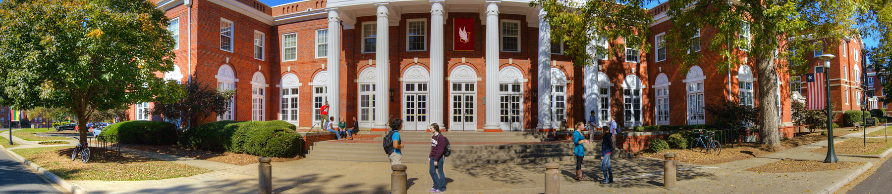
Geographic Information Science and Technology courses at Winthrop equip students with cutting-edge methods and techniques used in geographic information systems (GIS) and geospatial technology. Courses introduce students to computer-based mapping with GIS, field data collection with GPS and mobile-GIS, and remote sensing techniques through project-based instruction using industry-standard software and applications.